

Your Reliable Surveying Partner
in Oman
Supporting contractors, consultants, developers, and government projects with dependable survey services from planning through project completion.
Precision That Builds Confidence
Professional Land Surveying & Engineering Support for Construction, Infrastructure, and Development Projects Across Oman.
Accurate Survey Data.
Better Project Decisions.
From topographic surveys to as-built documentation, we deliver reliable measurements and technical support that keep projects on track.
Advanced Survey Technology.
Trusted Expertise.
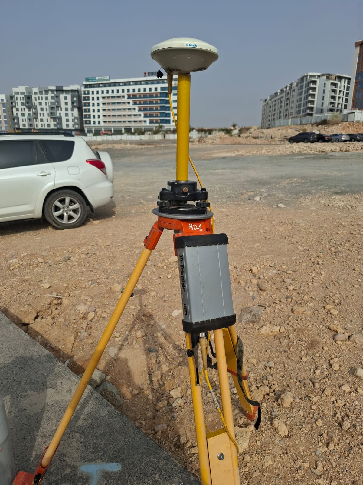
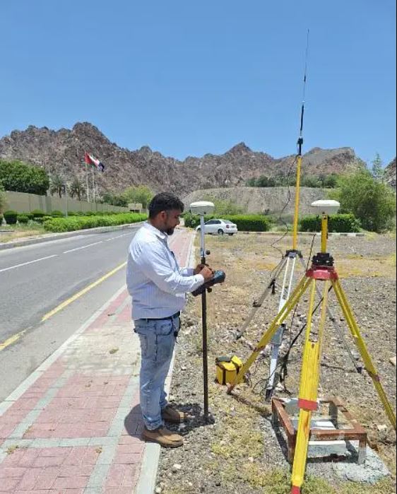
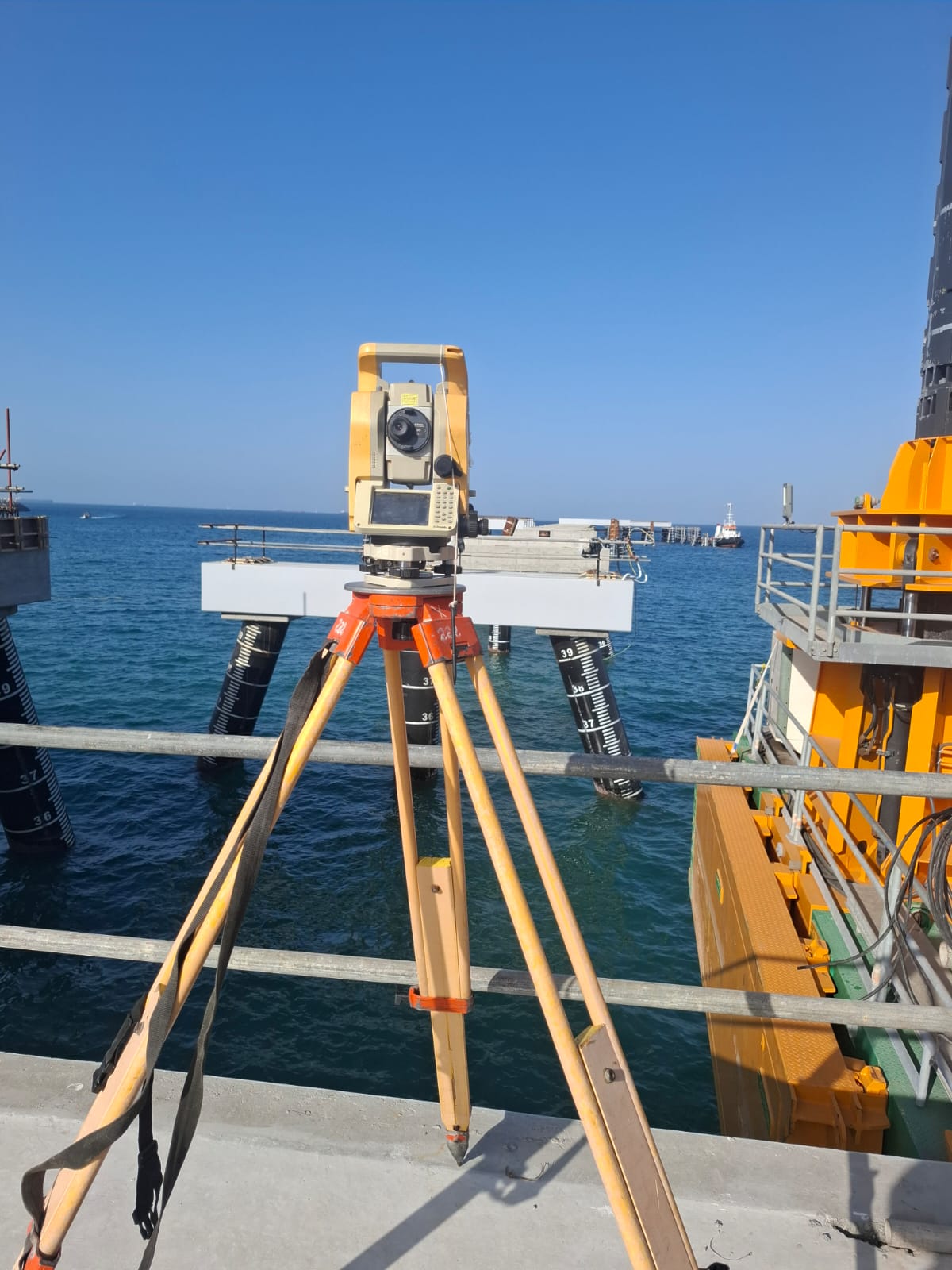
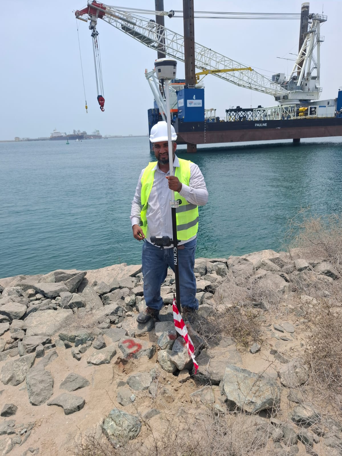
Using GNSS, Total Station, 3D SLAM LiDAR, Civil 3D, and AutoCAD, we provide precise surveying solutions for projects of every scale.
About Dar Al Miyaar SPC
At Dar Al Miyaar SPC, we believe every successful project begins with accurate data. Based in Muscat, Oman, we provide professional land surveying and engineering support for construction, infrastructure, utilities, and development projects.
Combining experienced survey professionals with modern technology, we deliver dependable site measurements, technical drawings, and engineering documentation that help clients reduce risk, improve efficiency, and complete projects with confidence. Whether supporting a new development or an active construction site, our commitment remains the same—precision, reliability, and exceptional service.
Comprehensive Surveying Solutions for Every Project Stage
Topographic Survey
Construction Survey & Setting
As-Built Survey
Got some questions? The following are frequently asked questions we get asked about.


How quickly can your survey team mobilize?
Our response time depends on the project scope, location, and current schedule. For many projects within Muscat and surrounding areas, we can mobilize promptly after confirming the project requirements. We always strive to provide timely support while maintaining the highest standards of accuracy and quality.
Which areas of Oman do you serve?
Dar Al Miyaar SPC provides land surveying and engineering support services throughout the Sultanate of Oman. Based in Muscat, we support projects in Sohar, Sur, Nizwa, Ibri, Musandam, Salalah, Duqm, Al Batinah, and other regions across the country.
What surveying services do you provide?
We offer a comprehensive range of professional surveying and engineering support services, including:
Topographic Surveys
Construction Survey & Setting-Out
As-Built Surveys
Control Point & Benchmark Establishment
Road & Infrastructure Surveys
Utilities Network Surveys
Site Grading & Leveling
3D SLAM LiDAR Surveys
Earthwork & Stockpile Quantity Surveys
Civil 3D & AutoCAD Drafting
GIS Mapping and Spatial Data Preparation
Our services are tailored to support construction, infrastructure, industrial, commercial, and land development projects.
Do you provide Civil 3D and AutoCAD drafting services?
Yes. In addition to field surveying, we prepare professional engineering deliverables using industry-standard software. These include topographic drawings, contour plans, profiles, cross-sections, as-built drawings, surface models, quantity calculations, and other technical documentation required for project planning, construction, and handover.
Can you support ongoing construction projects?
Absolutely. We work closely with contractors, consultants, and project managers by providing construction surveying, stakeout services, level verification, alignment checks, benchmark establishment, and as-built documentation throughout the project lifecycle. Our goal is to help keep construction activities accurate, efficient, and on schedule.